Topographical Surveys
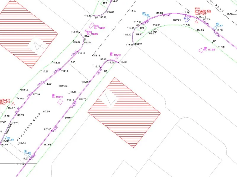
Topographical surveys provide accurate 3D representation of key site features. Decisions can then be made relating to the development potential of your land and property with complete confidence.
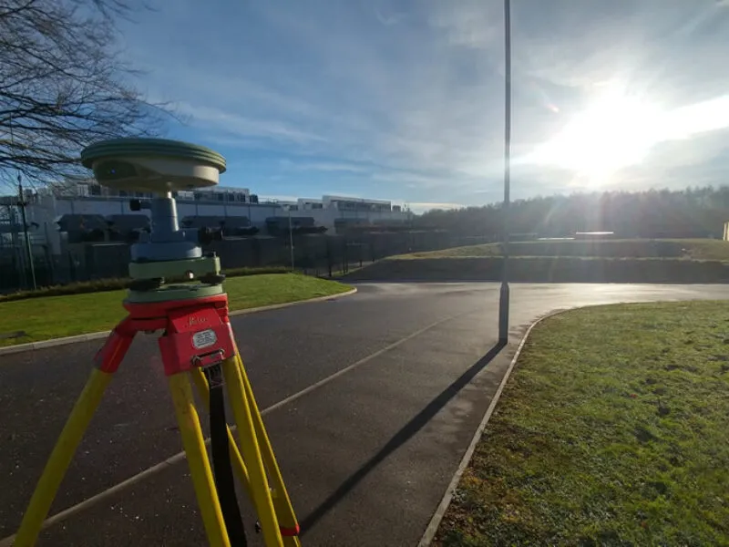
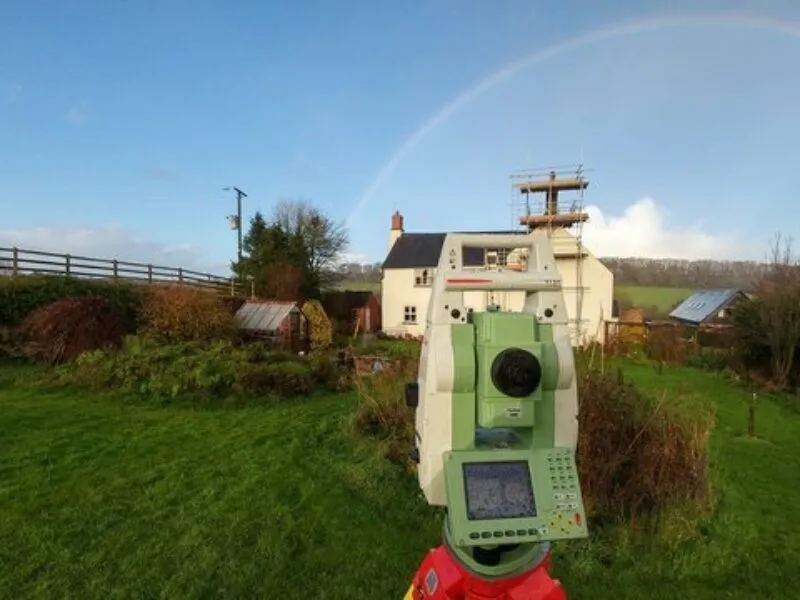
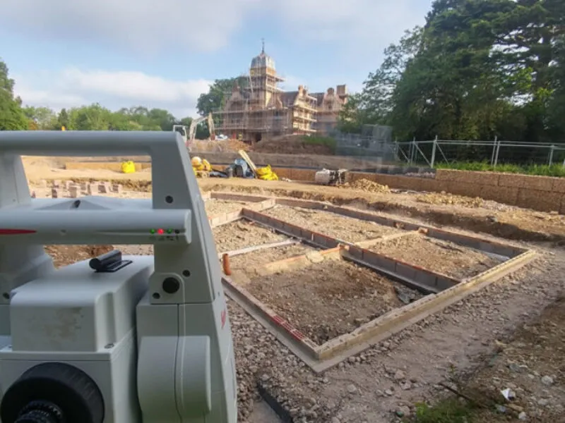
Combining Modern Total-station and GNSS survey equipment allows us to capture data through various techniques which may otherwise be inaccessible through physical or legal constraints.
A good quality survey provides:
- Accurate locations and details relating to all physical features in 2D or 3D.
- Location of underground & overhead services also in 2D or 3D
- Boundaries & Proximity to neighboring land & property
- Routes and levels of adjacent watercourses.
- Drainage systems and sewers.
- Position and sizes of relevant trees and other important information.

