UAV Surveying
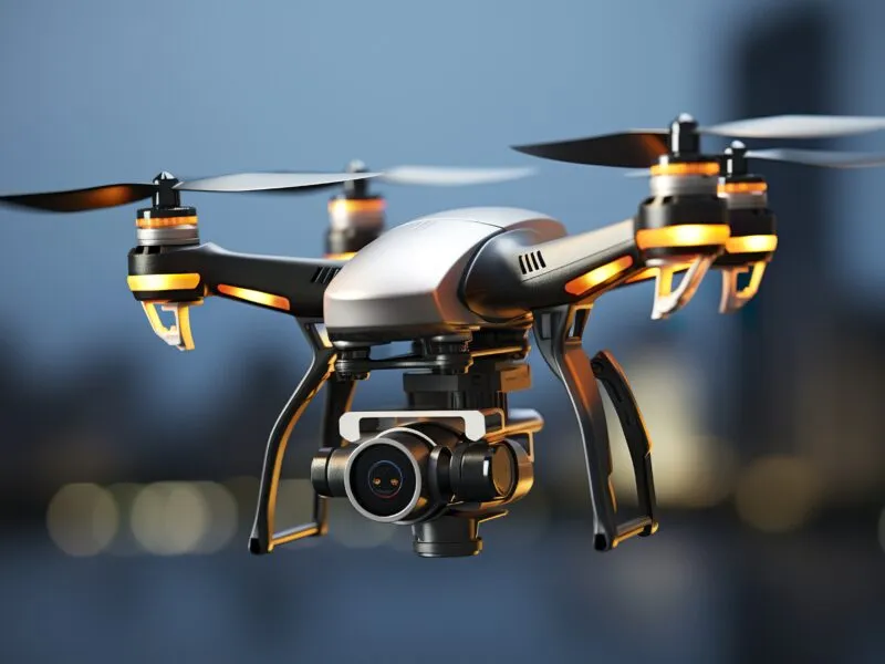
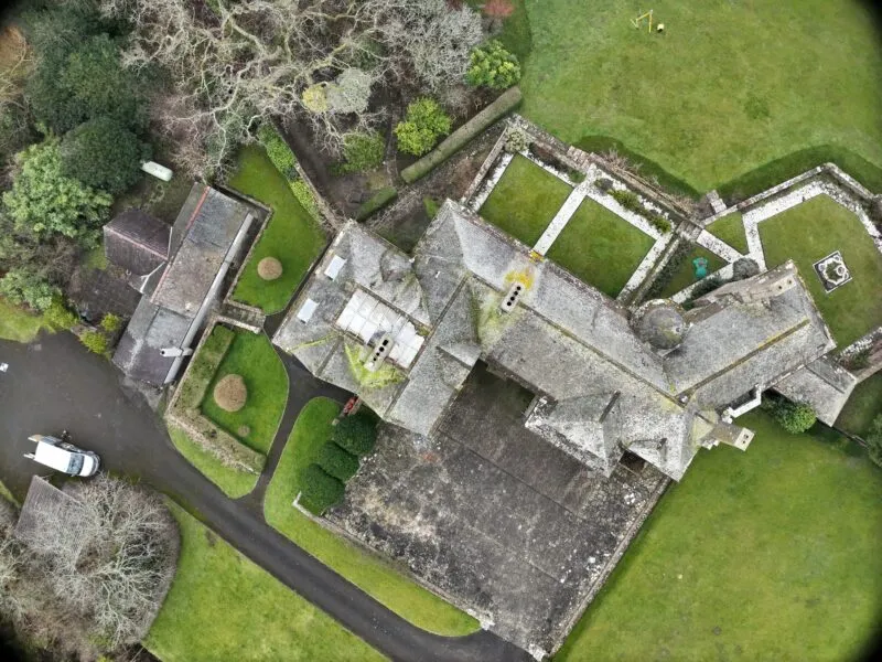
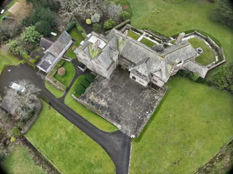
Drone surveying, simply put, refers to the utilization of drones to capture aerial data using downward-facing sensors like RGB cameras, multispectral cameras, or LIDAR payloads. During a drone survey, these sensors capture high-resolution images from different angles, with each image tagged with precise coordinates.
This imagery forms the foundation for creating geo-referenced maps, elevation models, 3D models, and more. Unlike traditional methods, drones fly at lower altitudes, resulting in high-resolution data that’s not only quicker to obtain but also less affected by factors like cloud cover.
A drone survey involves the use of unmanned aerial vehicles (UAVs) equipped with downward-facing sensors, such as RGB or multispectral cameras and LIDAR payloads. These sensors capture high-resolution images from multiple angles, each precisely geo-referenced, forming the basis for mapping and analysis.
UAV Provides:
- Aerial Photography/videography
- Site Ground Models
- In accessible areas
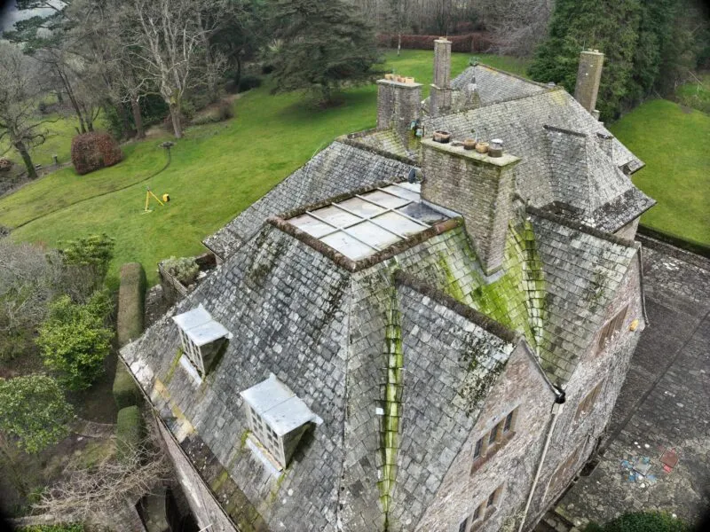
- Roof Plans/inspections

